Home > Hiking
Hiking in Gastein
Alpine summer is calling. Recharge by breathing the beneficial freshness of the Gasteiner mountain air. Enjoy unique surroundings with splashing waterfalls, idyllic places to rest and exciting trips. Make your way to your personal and unforgettable nature experience.

hiking in the gastein valley
with our hiking guide
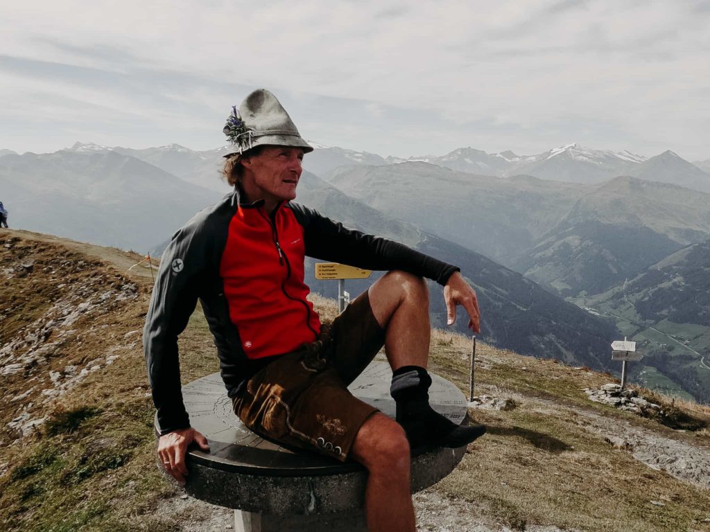
Our Gastein hiker Christian will take you and your companion on guided hikes in the Gastein Valley 5 times a week free of charge.
True to the motto: Discover the most beautiful hiking trails and places in the Gastein Valley! Christian adapts his hikes to the level of his companions and therefore offers adventure tours for young and old as well as challenging mountain tours for summiteers.
Hiking all year round
Hiking in summer, fall & winter
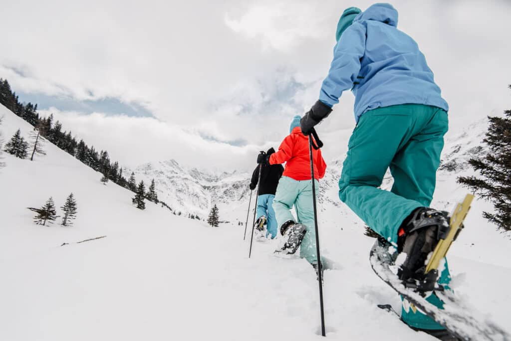
Christian’s hikes take place all year round. In winter, snowshoe hikes and torchlight hikes are waiting for you next to classic mountain tours.
We always stop off at the most beautiful mountain huts to enjoy the best delicacies.
You can register for the tour until the evening before in our app or at our reception!


Most beautiful hikes
Hiking in the Gastein valley
Explore the most beautiful places in Gastein. From town centre to the top by foot or cable car, a hike around the lake, a tour of the peaks, an alpine hut tour or a sunrise hike- every hike in the Gasteiner valley is a special experience. Past colourful mountain flowers and mountain springs to the high peaks of the Hohe Tauern national park.
COUNTLESS OPPORTUNITIES
in the Gasteiner valley
A total of 350km trails lead you through mountainous terrain along the ‘Gasteiner Hoehen’.
Impressive hiking trails for different skill levels- a paradise for hikers. More than 55 alpine restaurants are waiting for you as a reward- all of them offer delicacies from the Salzburg region.

IT IS PROBABLY ONE OF THE MOST BEAUTIFUL EXPERIENCES TO GET TO KNOW A COUNTRY BY HIKINg.
Erika Hubatschek
The Gamskarkogel is 2.467 m high and the highest ‘grass’ mountain in Europe. A lot of people don’t know this: Empress Sissi also climbed this mountain during one of her many visits to Gastein. Make your way up with our Christian!
The Tour
We first drive up to the Annencafe and then further to the Rastoetzenalm. This is our starting point for the hike! Over the hills and past lots of beautiful flowers we make our way up to the summit cross (approx. 2h). The Gamskar alpine hut and a beautiful view of the Gasteiner valley awaits us there!
The way back leads via the Edelweissklapfl to the Rastoetzenalm.
Terrain: 700m in altitude on the way up/ 700m in altitude on the way down
Highest Point: 2467 m
Duration: approx. 5h
Cost: cost of the shuttle service
Skill level: difficult- good endurance and proper mountain shoes needed.
Return: approx. 4 pm Hotel Panorama
Equipment: proper shoes, rain jacket, drinks, sunscreen and hiking sticks.
The voices of the Mountains
This hike is magical for all your senses: seeing, hearing, smelling… Our hiking guide Christian will show you the mysterious Zirbenweg (Stone pine path) and will tell you noteworthy facts about the queen of the conifers- the Gasteiner stone pine!
The Tour
You drive from Bad Hofgastein up to the Graukogellift in Bad Gastein. The chair lift will take you up to the mountain station. Together you will explore the stone pine hiking trail. There you can enjoy the smell of the stone pines, take in the sounds of the trees and enjoy the view of the valley. You can also take the way up to the Palfnersee from here. There you can get an introduction to the art of yodeling!
Terrain: 200 m in altitude up/ 200 m in altitude down
Highest point: 2.074 m
Duration: approx. 4.5h
Cost: cost for the bus with the Gastein card approx. 1.20 one way; lift pass approx. 21.50 per day with the Gastein card.
Difficulty: medium
Equipment: good shoes, rain jacket, drink, sunscreen and maybe hiking sticks
Flowering meadows everywhere. Hiking guide Christian is taking you on a beautiful hike in Bad Hofgastein.
The Tour
The hike starts with a drive to the Schlossalm in Bad Hofgastein. You walk to the Maurachalm and from there (for about 1.5h) further to the Brandner Hochhalm. There you can take a break. After this, you walk through the Leidlam area to the mountain station ‘Kleine Scharte’. Here you can enjoy the beautiful view from 2050 m up. The way down is way more comfortable than the way up- you will take the cable car.
Terrain: 700 m in altitude up/ 0m in altitude down
Highest point: 2.215 m
Duration: approx. 4h
Cost: liftcard approx 21.50 per day with the Gastein card
Difficulty: medium
Equipment: good shoes, rain jacket, drink, sunscreen and maybe hiking sticks
Hike where the gold diggers used to work. Our hiking guide Christian will show you important spots of the Gasteiner mining time- the path leads to Sportgastein.
The Tour
You take the bus to Sportgastein. From Talboden, the path is steep all the way up! After approx. 45 min, you reach the lower Bockhartsee and leisurely hike along the riverbank. The next part of the hike is up to the upper Bockhartsee. With a little luck, you may get to see a marmot. Anyway, you will definitely hear them!
Terrain: 600 m in altitude up/ 600 m in altitude down
Highest point: 2.260 m
Duration: approx. 5h
Cost: Bus ticket return- 6.60 per person with the Gastein card
Difficulty: medium
Equipment: good shoes, rain jacket, drink, sunscreen and maybe hiking sticks
If you want to see flowering meadows, let our hiking guide Christian take you up to the beautiful mountain huts.
The Tour
You take the bus to Angertal. From the Gasthof Lackenbauer, you hike past Lafenmadher up to the Baldauf Hütte, where you can rest and enjoy some refreshments.
Terrain: 640m in altitude up/ 640m in altitude down
Highest point: 1.824m
Duration: approx. 4.5h
Cost: Bus 1,20 per ride with the Gastein card
Difficulty: Medium
Equipment: good shoes, rain jacket, drink, sunscreen and maybe hiking sticks